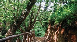
The trail of Mesoropi contains what is missing from others-abundant water. the rest: abundant Zoned in 2006 by the Forestry of Kavala, it allows access to scenic places of great beauty with small waterfalls, lakes, with resting benches and gazebos along the way, protective fences, wooden bridges and stone steps in places that are still rugged and slippery.
The most important is that everything blends aesthetically, and no where is nature disturbed. This pattern reaches the Cave “Voskovrysi” (shepherds basin ) covering a distance of 5 kilometers.
Description route
(5 hours)
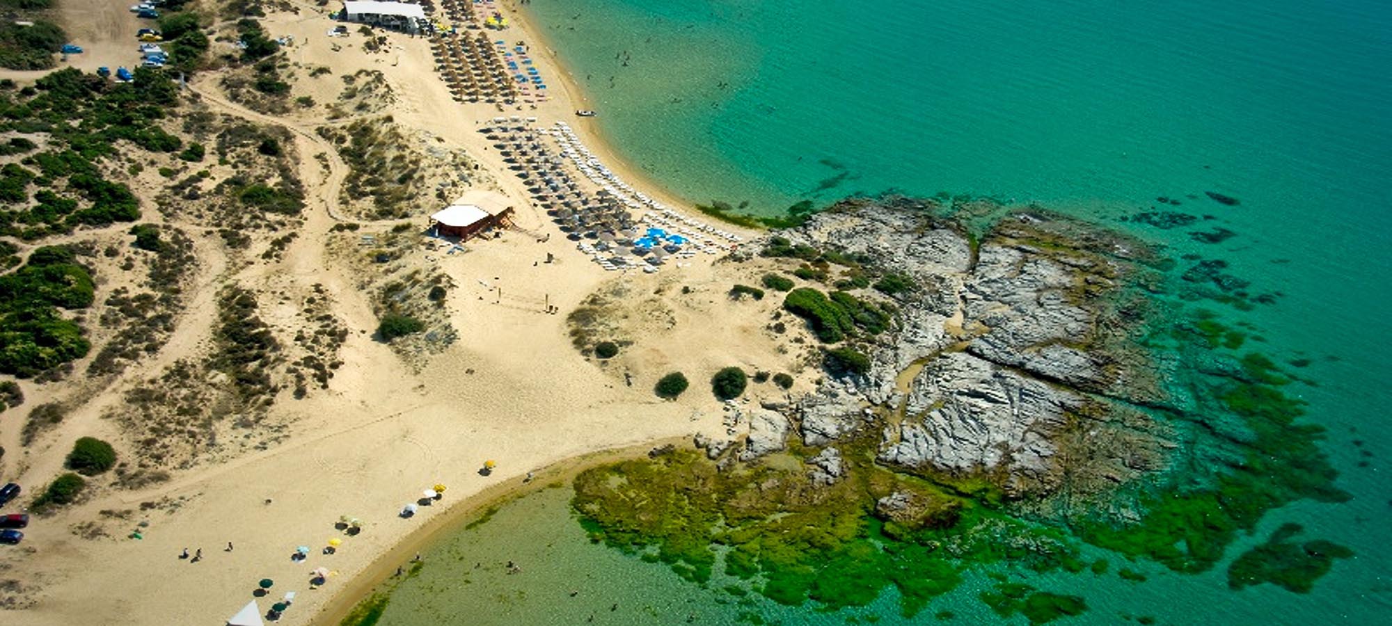
The village of Mesoropi located in the 36th kilometer of the Old National Road Thessaloniki Kavala. We can leave the car in the square of the village or drive a few meters further, turn after the square in the first turning right, just before reaching the first stream with a stone bridge. From here, as we follow the dirt road, we reach lake “Omvrios” where they performsanctification at a 400 meters above sea level and which we consider as a starting point.
Water makes its presence felt from the beginning. In less than five minutes, first we pass the river from wooden bridge. If the weather is clear, from these first minutes, right in front of us stands the highest peak Paggeo, Mati(eye), with its characteristic TV antenna.
Walking the path we pass the junction leading to a gazebo and landscaped area and continue following the signs. Please note that in summer, the path is barely visible due to the height of the plants of the fern, but without risk to get lost. In half an hour, we reached a large tree at an altitude of 500 meters, with a bench under it.
Half an hour later, at an altitude of 650 meters, shortly after a beautiful waterfall that deserves our effort, we will pass the river from the second bridge, leaving it on your right. The path has already begun to ascend , and with the aid of shaped stair leads us (after we pass stones) at the junction of two streams in typical flat area with trees and bench. Following the left stream, again we find the water forms beautiful lacy patterns as it rolls on the rocks. At this point we find and tap and there is a bench to rest. Continuing, at an altitude of 840 meters, we pass to the third and last time the river. (Be careful not to go down the stairs on the left there before the bridge).
Leaving the river behind us, we come out in an open area called “Pouliana” (here in the summer to be careful because of high fern makes inconspicuous path). Making continuous zigzags to the bare slope, we pass another bench and a destroyed hut to rejoin the wooden railing of the trail. These will lead us safely, first through the woods with beech and then after descending the stone steps and very closely pass the base of the cliffs, uphill to get to the cave Voskovrysis (the locals call Voskotrypa or ‘Shepherds hole’) 1. From the village up here we need about 3 hours.
If our aim is the high peaks Paggeo and shelters should meet after the wooden railings after the hut, to abandon a path, the first left hairpin doing, continuing straight (northeast). With rough uphill, we pass from the right cluster of trees that lies ahead and head to the rightmost and highest point of the slope, up to a height of 1250 meters (there are ribbons and higher stakes to show the right path). Here we find the old Stan residues.
At this point, we traverse the slope, passing the first tree and immediately descend to the stream in a northeasterly direction being careful to follow the ribbons and signs. Aiming at the opposite side, we pass the stream “Sand” and begin to ascend to enter the forest of beeches. In the first trees stands the wide, marked path that we should follow, to the traverses wooded hillside. But then you have to give up and follow smaller trail that leads us out of the woods, climbing the steep and bare slope now. Our goal is both solitary beech trees that stand on the eastern part of the following stakes. Immediately after the beech traverse right and arrive in five minutes on tap “Kartali”. This is the old drinker residues unfortunately the water is lost and now goes several steps further down the trail. Ascend sweet easterly direction until the next ridge. Traverse for another 15 minutes along the road is higher, we pass a small stream and a little walk uphill to get to the asphalt road that comes from Eleftheroupoli next to pine forest. We turn left and follow the road for 100 meters and immediately turn right again into damaged dirt road, having our right the pinewood. Further up the road bifurcates. If we follow the left direction, we’ll get down from the top egg and Hadjigeorgiou shelter. A kolouthontas the right direction, in 10 minutes we find the refuge of EOS Kavala.
Notes
The route with the dotted line meanders through the stream and is not visible in the photo:
1. The clearing where we go just spend last the stream.
2. The residues of the old Stan right from the clump of trees.
3. The point where we cross the “Sand” stream. Just above it starts a distinct path through the beeches.
4. The feature point to be approached are the two typical solitary beech trees located on the right, and climb, edge.
5. The fountain “Kartali”.
The path shown by our yellow leads to the cave of Mesoropi (Voskotrypa):
6. The point from where we go from the base of vertical cliffs. The cave from here is approximately 300 meters.